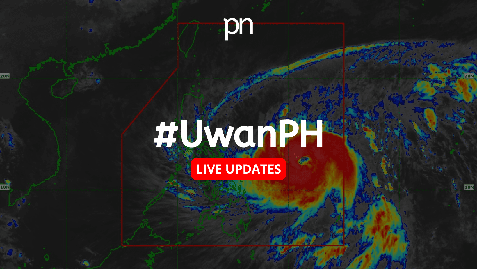
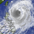


Government weather forecasters are warning of widespread heavy rainfall across Luzon and parts of the Visayas as Tropical Cyclone Fung-Wong — currently referred to as pre-Uwan — continues to develop and move closer to the country.
In a late afternoon advisory Friday, the state weather bureau said significant rainfall is expected beginning Saturday and lasting through Monday, with some areas potentially receiving more than 200 millimeters of rain within 24 hours.
Saturday afternoon to Sunday afternoon
Regions in the Bicol area — including Camarines Sur, Catanduanes, and Albay — are forecast to experience over 200 mm of rainfall.
Moderate to heavy rains between 100–200 mm are expected in Cagayan, Isabela, Quirino, Aurora, Quezon, Camarines Norte, Sorsogon, Masbate, Northern Samar, Samar, and Eastern Samar.
Meanwhile, 50–100 mm of rainfall is likely across Apayao, Kalinga, Mountain Province, Ifugao, Nueva Vizcaya, Nueva Ecija, Bulacan, Rizal, Laguna, Marinduque, Romblon, Biliran, and Leyte.

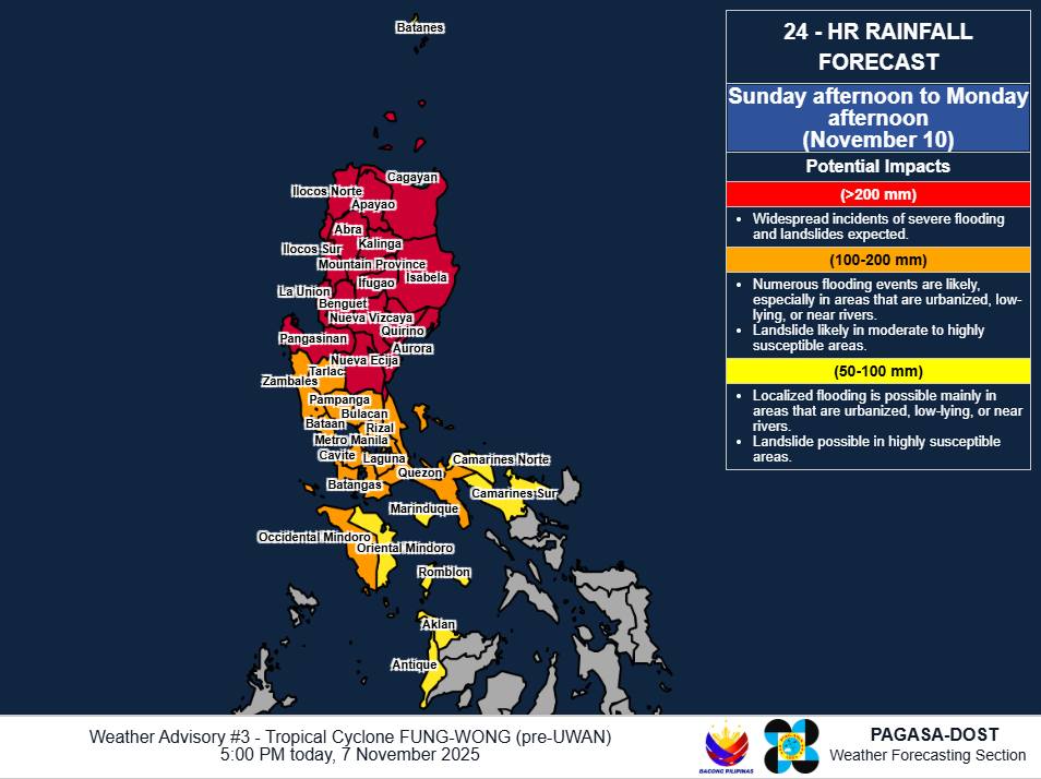
Sunday afternoon to Monday afternoon
As the system moves inland, rainfall could intensify over northern and central Luzon.
Areas expected to receive over 200 mm include Aurora, Nueva Ecija, Cagayan, Isabela, Quirino, Nueva Vizcaya, Apayao, Kalinga, Abra, Mountain Province, Ifugao, Benguet, Ilocos Norte, Ilocos Sur, La Union, and Pangasinan.
Rainfall between 100–200 mm is anticipated in Metro Manila, Zambales, Bataan, Tarlac, Pampanga, Bulacan, Cavite, Laguna, Batangas, Rizal, Quezon, and Occidental Mindoro.
Regions expecting 50–100 mm include Batanes, Oriental Mindoro, Marinduque, Romblon, Camarines Norte, Camarines Sur, Aklan, and Antique.
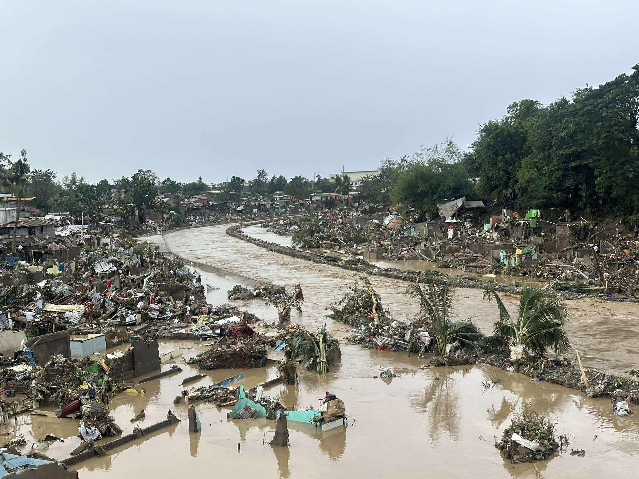
Forecasters cautioned that rains could be even heavier in mountainous areas, where flooding and landslides are more likely — especially in places with already saturated soil from recent weather disturbances.
Emergency and local disaster officials are urged to prepare early and implement safety measures to protect residents in at-risk communities. Additional severe weather updates — including localized heavy rainfall warnings and thunderstorm advisories — may be issued as conditions evolve.
The next national weather advisory is expected at 11 p.m. tonight unless major changes occur in the system’s behavior.
Understanding the alerts
Weather specialists clarified the distinction between alerts issued by the bureau:
- A Heavy Rainfall Warning provides short-term, highly localized forecasts — typically within three hours — using radar data to guide urgent decisions such as class suspensions.
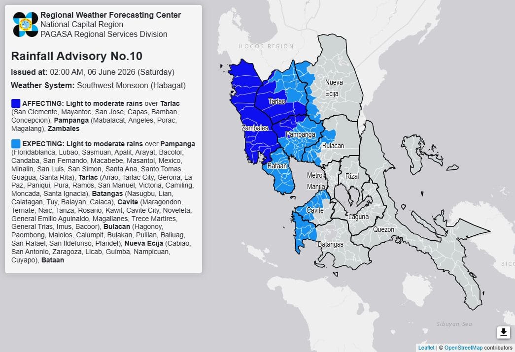
- A Weather Advisory offers a broader 24-hour outlook but covers larger provincial areas and with less precision.
Residents are advised to closely monitor warnings from their PAGASA Regional Services Division for immediate safety decisions.
Authorities are urging the public to stay vigilant and follow local instructions as rainfall intensifies through the weekend.