


MANILA, Philippines — October 19, 2025 | 11:00 PM
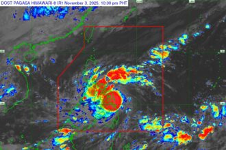
Large portions of Luzon are bracing for another wet and windy night as Tropical Storm Ramil continues to bring heavy rains and potential flooding across northern and central provinces, according to PAGASA’s latest advisory.
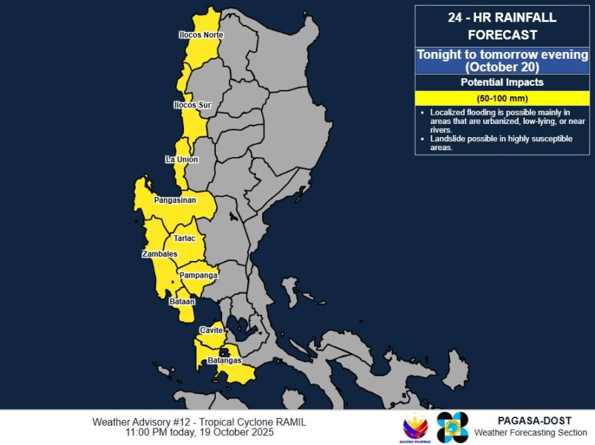
From Sunday night until Monday evening (October 20), rainfall totals between 50 to 100 millimeters are expected in Ilocos Norte, Ilocos Sur, La Union, Pangasinan, Zambales, Bataan, Tarlac, Pampanga, Cavite, and Batangas. Forecasters warned that precipitation could be even higher in mountainous areas, where earlier rainfall has already saturated the ground—raising the risk of landslides and flash floods.
Local disaster management offices have been urged to remain on high alert and implement all necessary measures to safeguard residents, particularly in flood-prone and low-lying communities. PAGASA’s regional divisions are also on standby to issue more targeted Heavy Rainfall Warnings and Thunderstorm Advisories as conditions evolve overnight.
The next official update is scheduled for 5:00 AM Monday, unless there are significant developments before then.
Weather Advisory vs. Heavy Rainfall Warning: What’s the Difference?
Many Filipinos confuse PAGASA’s weather bulletins—but the agency clarified the distinction.
A Weather Advisory offers a broader 24-hour outlook for an entire province. It’s designed to give communities time to prepare for incoming disturbances, though it doesn’t provide minute-by-minute precision.
A Heavy Rainfall Warning, meanwhile, is short-term and localized—covering only the next three hours and zeroing in on specific municipalities. It’s powered by Doppler radar data, which helps track rainfall intensity in real time.
For official decisions like class or work suspensions, PAGASA advises the public to monitor Heavy Rainfall Warnings issued by regional offices, as these reflect the most immediate and accurate conditions.