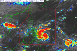


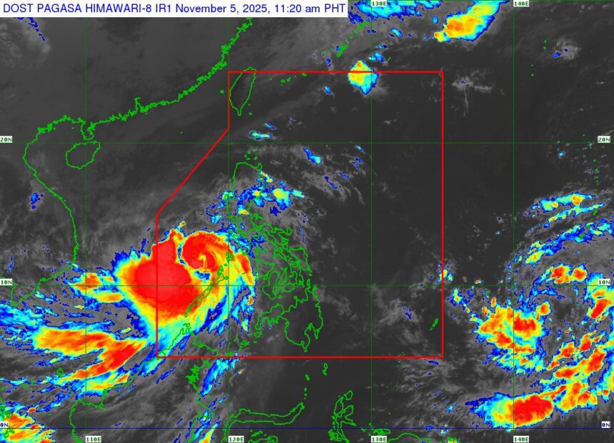
11:00 AM, November 5, 2025 – A seemingly innocuous Tropical Depression lingering over the Pacific just south of Guam is quickly becoming a meteorological nightmare, with forecasters warning of a rapid, terrifying intensification that could bring a Super Typhoon straight to the Philippines by early next week.
The storm, currently spinning with maximum sustained winds of 55 km/h, is still outside the Philippine Area of Responsibility (PAR), estimated at a whopping 1,835 km east of Northeastern Mindanao.
The Alarming Forecast: From Whimper to Wallop
According to the latest advisory, the current weakness is highly deceptive. This depression is on a collision course with explosive growth:
- Rapid Intensification: The storm is forecast to rapidly strengthen, likely reaching Typhoon category by Friday and the terrifying Super Typhoon category by Saturday (November 8).
- Landfall Threat: Crucially, there is an “increasing chance” of the monstrous storm making landfall on Monday, November 10, over Northern or Central Luzon, potentially at or near its peak lifetime intensity.
- New Name: Once it crosses into the PAR late Friday or early Saturday, it will be christened with the domestic name, “UWAN.”
The Catastrophic Potential: Signal No. 5 and Life-Threatening Storm Surge
This is not a drill. The forecast suggests extreme conditions that demand immediate preparation:
- Highest Possible Signal: Forecasters warn that the highest possible Wind Signal, Wind Signal No. 5, may be hoisted over Northern and Central Luzon.
- Weather Deterioration: Conditions are expected to worsen rapidly starting Sunday, November 9, with “potentially life-threatening stormy conditions” lasting through Tuesday.
- Storm Surge Nightmare: There is a serious potential for a high storm surge risk and related coastal flooding, especially for communities in Northern Luzon and the east coast of Central Luzon. Storm surge warnings could be issued as early as Saturday.
Actionable Warnings
Mariners and coastal residents are urged to take immediate action:
- Marine Hazards: Seas will become increasingly dangerous. Moderate to rough seas will start affecting northern and eastern Luzon and eastern Visayas/Mindanao by late Friday/Saturday. By Sunday, most of Luzon will experience hazardous sea conditions—from “very rough” to “phenomenal seas.”
- Public Advisory: Wind Signals are anticipated to go up over the eastern portion of Luzon and parts of Samar Provinces as early as Friday evening or Saturday morning.
Authorities are advising the public and all disaster risk reduction and management offices to intensify monitoring and preparedness efforts now. The next official advisory is scheduled for 11:00 PM tonight.