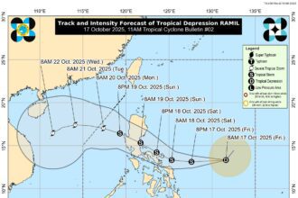


Tropical Depression Ramil has picked up speed as it continues its westward path over the Philippine Sea, according to the latest advisory issued Friday night, October 17.
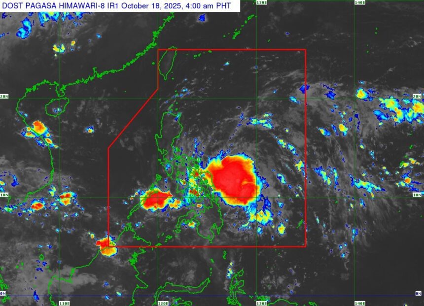
As of 10 p.m., the weather disturbance was spotted about 445 kilometers east of Juban, Sorsogon. Ramil is currently packing maximum sustained winds of 55 kilometers per hour near the center, with gusts reaching up to 70 kph.
A total of 25 areas are now under Tropical Cyclone Wind Signal No. 1, with newly included provinces such as southern Kalinga, Mountain Province, Benguet, southern Ilocos Sur, La Union, Pangasinan, eastern Tarlac, and eastern Pampanga.
Forecasters expect Ramil to strengthen into a tropical storm before making landfall over Catanduanes on Saturday afternoon or evening. The system may then cross Luzon and emerge over the West Philippine Sea by Sunday afternoon or evening, possibly after another landfall in Aurora or Quezon on Sunday morning.
A slight southward shift in its track could change the projected landfall area and bring more provinces under tropical cyclone wind signals. Weather authorities also warned that Ramil could intensify into a severe tropical storm before landfall, which may prompt the raising of Signal No. 3 in some areas.
Heavy to intense rainfall is forecast over northern Bicol, Quezon, Aurora, and Isabela from Saturday afternoon through Sunday, while widespread flooding and landslides are possible in parts of Eastern Visayas and most of Luzon.
Tropical Depression Ramil is expected to exit the Philippine area of responsibility by Monday, October 20.
Residents are advised to stay alert and monitor official updates as the storm’s track and intensity may still change.