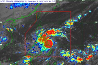


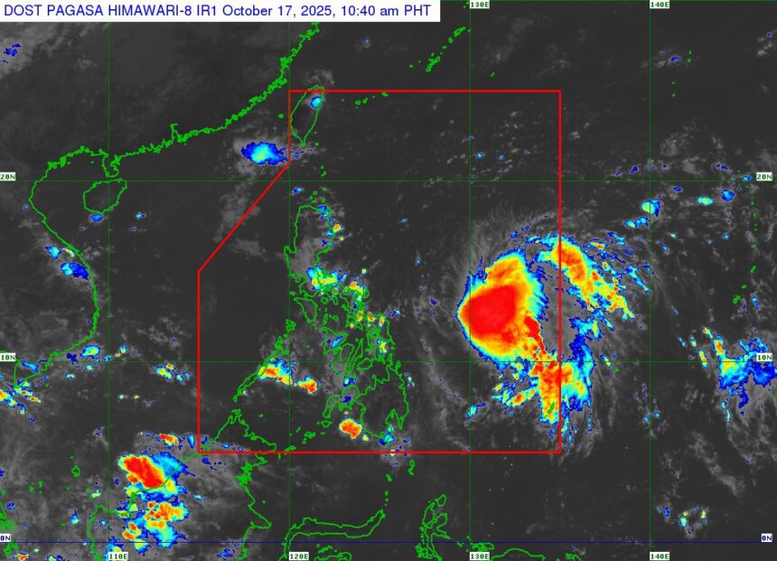
MANILA, Philippines (PAGASA Update) — Tropical Depression Ramil has slightly intensified as it moves southwestward over the Philippine Sea, according to the 11:00 a.m. advisory issued by the Philippine Atmospheric, Geophysical and Astronomical Services Administration (PAGASA) on October 17, 2025.
As of 10:00 a.m., the center of Ramil was estimated 760 kilometers east of Virac, Catanduanes, with maximum sustained winds of 55 km/h near the center and gusts of up to 70 km/h. The system is moving southwest at 25 km/h.
Strong winds extend outward up to 350 kilometers from the center.
Tropical Cyclone Wind Signals in Effect
Signal No. 1 has been raised in several parts of Southern Luzon and Eastern Visayas, including:
- Luzon: Quezon Province (including Polillo Islands), Camarines Norte, Camarines Sur, Catanduanes, Albay, Sorsogon, Burias Island, and Ticao Island.
- Visayas: Northern Samar, parts of Eastern Samar, and parts of Samar Province.
These areas may experience strong winds between 39 to 61 km/h within 36 hours, posing minimal to minor threats to life and property.
Possible Heavy Rains and Winds
PAGASA warned that Ramil could bring heavy rainfall, strong winds, and storm surges in the coming days. Coastal communities in Cagayan, Isabela, Aurora, Quezon, Camarines provinces, Albay, Sorsogon, and Northern Samar are advised to prepare for storm surges reaching up to 2 meters.
Gale warnings may be raised over the eastern seaboards of Luzon and Visayas due to rough to very rough sea conditions. PAGASA advised small vessels and fishing boats to avoid venturing out to sea.
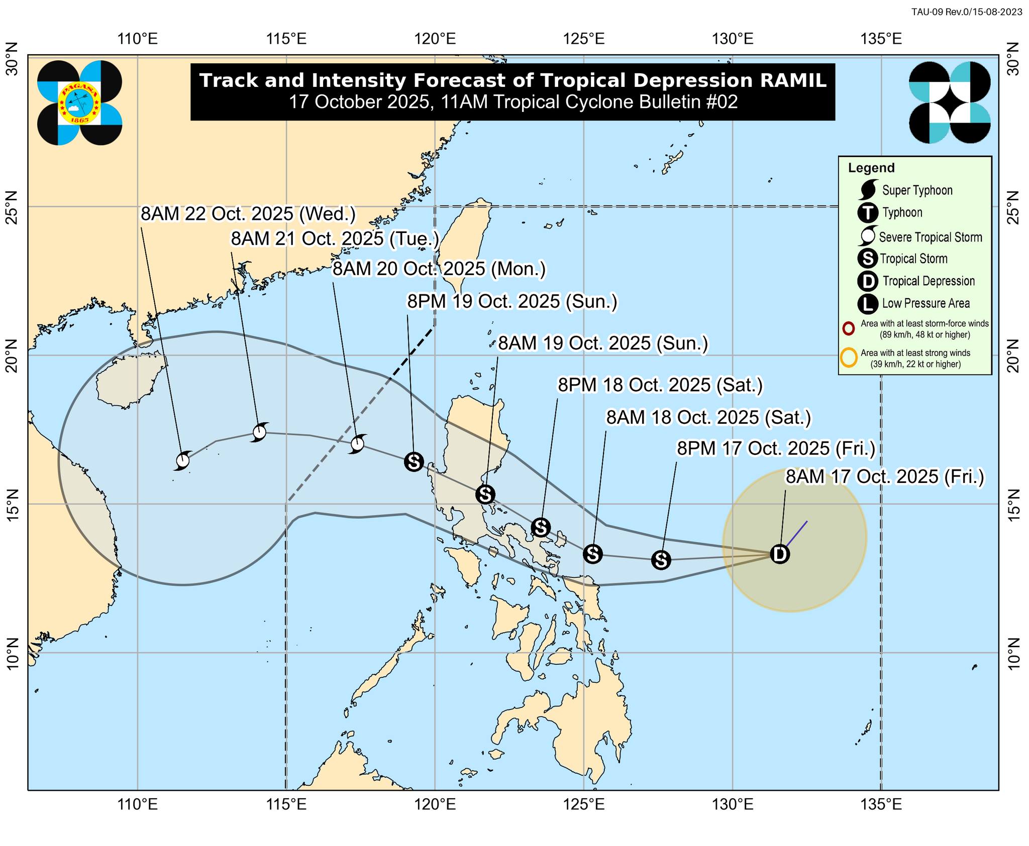
Track and Intensity Forecast
The tropical depression is expected to move westward in the next 24 hours before turning west-northwestward toward Central to Southern Luzon.
- Ramil may make landfall over Catanduanes by Saturday afternoon (October 18) and could reach Aurora or Quezon Province by Sunday morning (October 19).
- It is expected to exit the Philippine Area of Responsibility by Monday (October 20).
- The system may strengthen into a tropical storm or possibly a severe tropical storm before landfall.
Public Advisory
PAGASA urged residents in affected areas to remain alert for flooding, landslides, and coastal hazards, and to follow evacuation orders from local officials.
The public is encouraged to monitor local advisories and weather updates for region-specific information.
The next bulletin will be issued at 5:00 p.m. today.